Metro Vancouver
Regional Green Infrastructure Network Mapping (2023-ongoing)
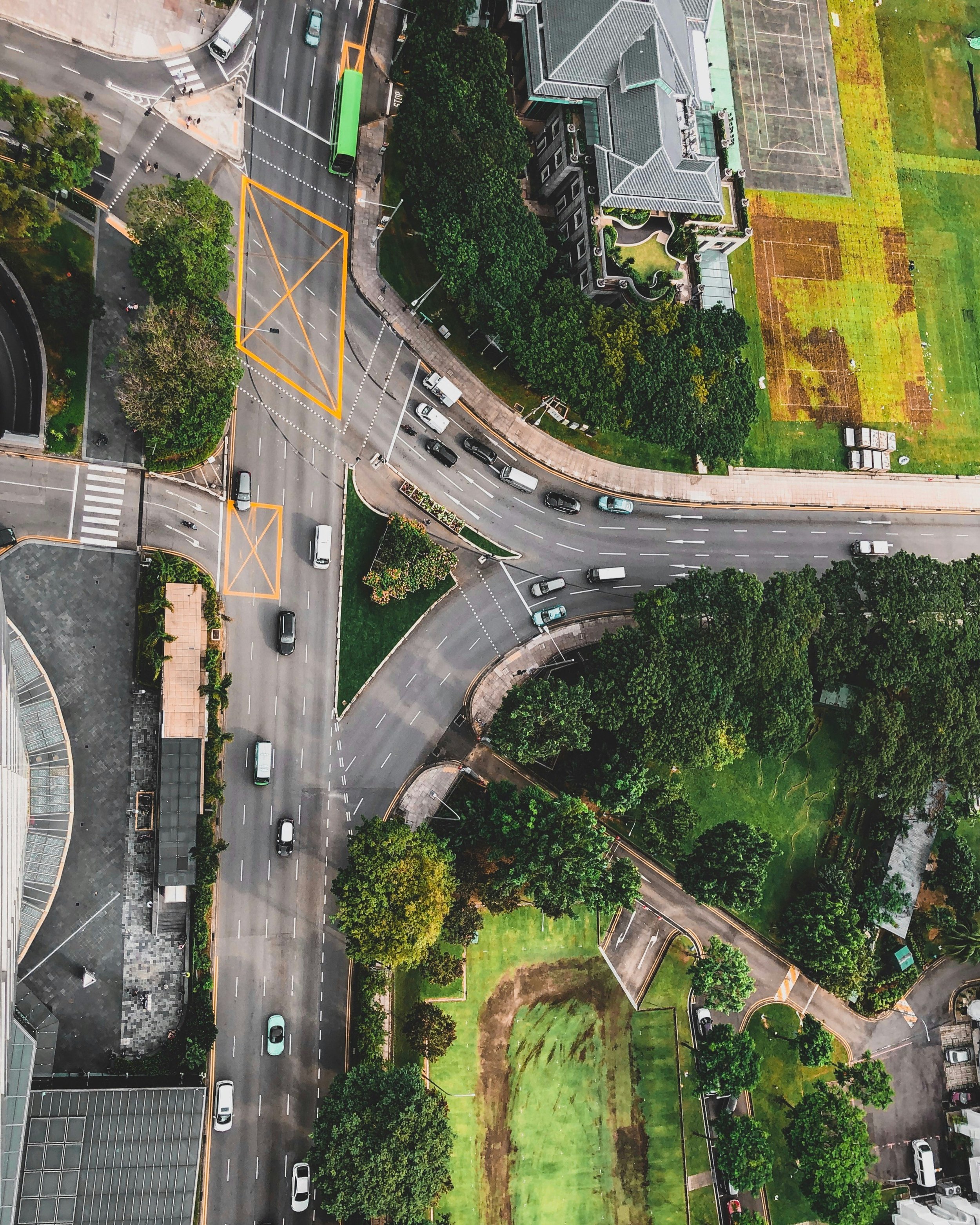
Metro Vancouver collaborates with its member municipalities, First Nations, and stakeholders to protect and restore significant natural areas throughout the lower mainland. To achieve this, it's crucial to identify which areas offer the most value. Diamond Head conducted a Geographic Information System (GIS) analysis to identify critical habitat areas and the corridors linking them. This was based on the SEI database and a least-cost-of-movement analysis. The regional green infrastructure network will guide land-use decisions, prioritize restoration efforts, and aid municipalities in creating their own networks.
Tree Management and Monitoring for the Stanley Park Causeway Bike/Pedestrian Pathway Widening
Project Arborist for the UBC South Campus and Main Mall Redevelopment (2006 - present)
Invasive Species Removal & Restoration for Migratory Bird Species at the Alaksen National Wildlife Area (in progress)
Port Mann/Highway 1 Habitat Compensation Planting Design and Implementation
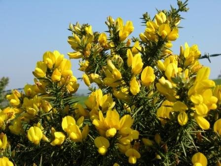
Contractor for Noxious Weed Control, Metro Vancouver Region Highways and Gravel Pits


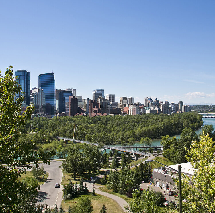


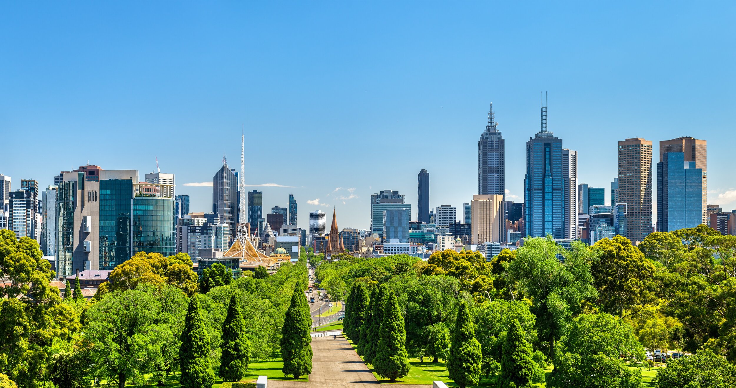




Climate Adaptation Tree Selection Guidelines